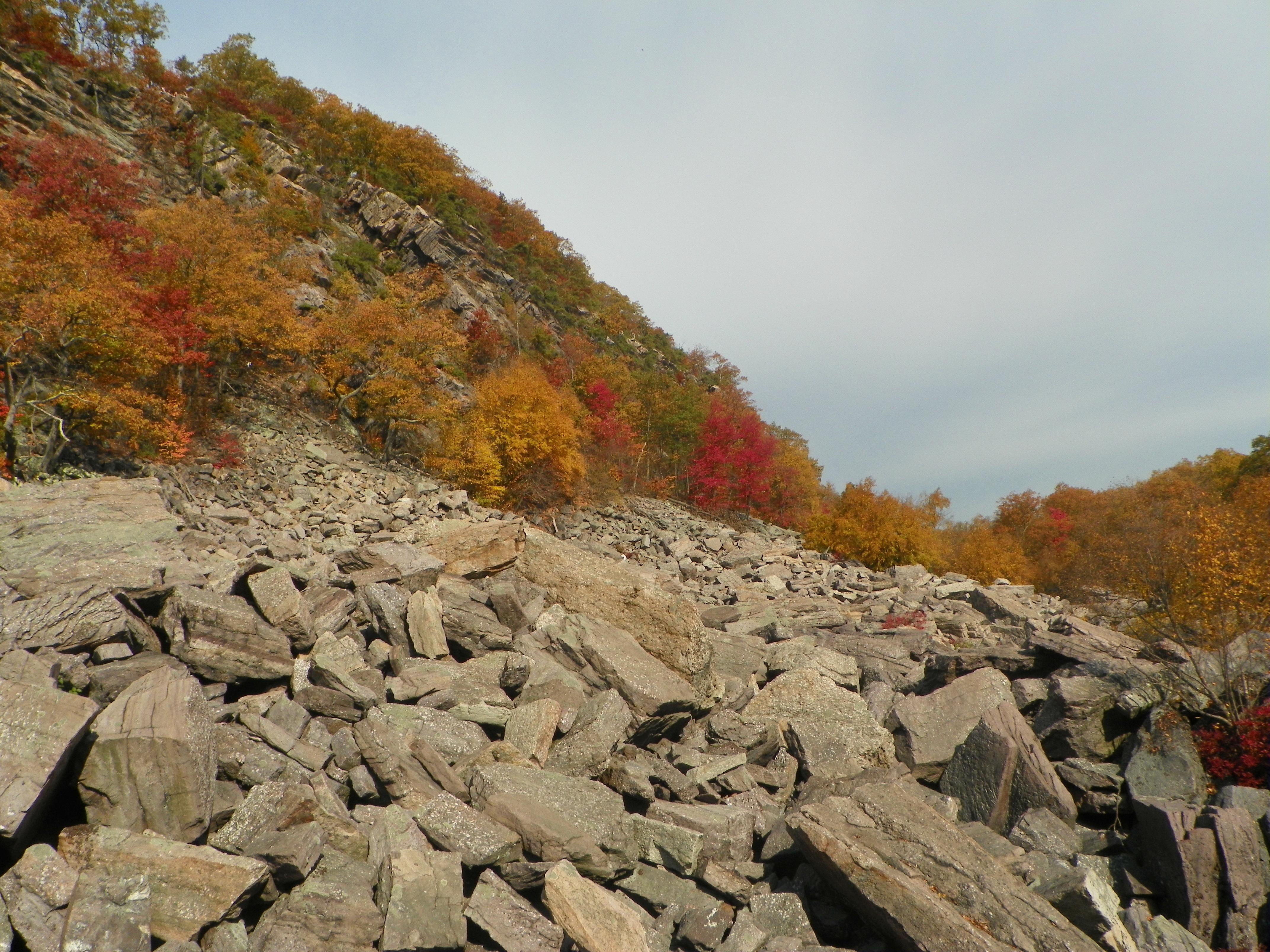
Copperas Mountain and other Outback Areas
FOUR BIRDS TRAIL. Length: 19.4 miles. Blazes: White. (reference NJ Trail Conference)
Trails of this length are rarely found in New Jersey. Completed in 1996, the Four Birds Trail crosses only one paved roadway
throughout its course. Views and points of interest are abundant along the trail year round; however, those inclined to explore
this region during the autumn and winter months will be rewarded with views along nearly 60% of the trail. Hikers would best
be advised to utilize drop-off cars at any of the three parking
areas found along the route in order to more fully appreciate the trail's diversity and length. Although elevations
along the pathway restrict climbs and descents to a maximum of 400 feet, the frequency with which the hiker finds himself
making climbs/descents is fairly high.
The trail traverses three principal biomes: old growth mixed deciduous forests, lacustrine, and cliff/rock outcrops. Black bear, wild turkey, otter, white tail deer, beaver, osprey,
great blue heron, red tailed hawk and raccoon have all been spotted during construction of this trail. Timber rattlesnakes
are also known to exist in the area so caution should be exercised when hiking through the rockier regions of this trail.
ACCESS: To reach the southern trailhead, take Exit #37 (Hibernia/Rockaway) from Interstate 80 west then north on Route
513 (Green Pond Road), 2.75 miles and turn right onto Sunnyside Road. White trail blazes can be found on your left 150 feet
in from the intersection at the beginning of a gated woods road. A second point of access is reached by taking Route 513 north
from Interstate 80 1.7 miles to Meriden Road. Turn right, follow Meriden Road 2.1 miles then turn left onto Lyonsville Road.
Go .30 mile, bear left and proceed 1 mile further to a stop sign. Turn left onto Split Rock Road, travel .30 mile to the next
intersection and bear left staying on Split Rock Road. Four Birds Trail crosses this road 1.4 miles further up the road.A
third access point is located 7.3 miles north of Sunnyside Road on Route 513. The gravel turnout is on your left, 100 feet
north of the trail intersection.(Parking permit required from NWCDC.) The northern trailhead is located 11.5 miles north from
I-80 on Route 513. Just before crossing the railroad tracks, turn left. Park in the ball field parking lot on the left. Walk
1/4 mile to the road's end. The trail begins about 100 feet up the dirt road extension on your left. (Parking permit required
from NWCDC.)
DESCRIPTION: From the southern Hibernia trailhead, the Four Birds Trail immediately enters a clearing once used to facilitate
the removal and processing of high grade iron ore from the area. One tenth mile in on the right you can find an abandoned,
barricaded mine shaft locally known as the Bat Cave. Extending 2,500 feet into the earth it is now home to an estimated 26,000
little brown bats. The trail leaves the clearing on the north and begins a moderate ascent crossing an old haul road then
traverses an exposed rock face. Four tenths mile in the trail straddles an old mining trench for about 1/10 mile at which
point it merges with an ATV path. The Four Birds Trail bears left; however, if you hike 360 feet to the right you will come
upon the remains of the old Hibernia Cemetery. Though heavily vandalized and long since abandoned, one can still find headstones
dating back to the mid 19th century. Mature hardwood trees growing in these hallowed grounds and the serenity of the encroaching
forest beckons the passing wayfarer to pause and reflect upon the stories these souls would have to tell could we hear. Many
of these plots belong to immigrant workers in the old mines.
Return to the trail which continues along the ATV path for 350' at which point it veers right back onto the berm. Follow
the mine trench/berm for .20 mile. The trail then turns right, passing through a cluster of stone walls and cellar holes,
eventually crossing the old Hibernia road. Once across the road the trail meanders up over a knoll through a young growth
forest crossing another mine trench (look for exploration pit on your right) and at 1.1 miles in from the start crosses an
ATV path. Begin a moderate .20 mile descent down to an ATV path and intermittent stream crossing. During periods of excessive
rain fall, a lovely cascades develops just to the right of the stream crossing. Once across the stream, look for "Dreamer's Rock" another .20 mile up the trail. The trail begins its
ascent to the ridge line from here. In .20 mile (1.8 miles from the trail head) a spur trail leaves to the south (right) presently
terminating in .50 mile at the crest of the Graffiti Cliffs. Fine westerly views are afforded here of the Hibernia valley.
The main trail however, climbs for another .10 mile to the ridge line where it crosses a heavily used woods road.
Dirt bikes and ATVs use this area extensively and have succeeded in obscuring parts of the trailway. Keep your eyes peeled
for white blazes and you should have little problem forging through. The Four Birds Trail crosses the road and follows the
contour around the knoll to the north. From here the wayfarer will follow an undulating path for about .50 mile culminating
in a draw at an intermittent stream crossing. Once across the creek turn left on an old dirt bike trail. The trail follows
this for 75 feet then bears right gradually climbing for .25 mile back to the ridge line and its junction with a gravel cable
television tower access road (2.6 miles).
Time permitting, follow the road north towards the tower for .20 mile. A beautiful panoramic view of Rockaway Valley awaits
you. Return to the Four Birds Trail, cross the access road and begin a moderate descent for .40 mile to an ATV trail. Cross
the trail, a rocky glade, a creek , two other ATV paths and climb steeply to a modest easterly view atop an exposed outcrop
at 3.7 miles. In .30 mile the trail passes a huge glacial
erratic crosses a woods road, a small creek then begins a gradual .40 mile climb to its intersection with Split Rock Road
(4.6 miles).
Immediately across the road, the path makes a short but steep
climb up a rock outcrop. It proceeds to follow the height of land gradually losing elevation as it crosses
an ATV trail and then a major stream in .40 mile. Once across
the creek, the trail enters a region locally known as the "Bumps". Numerous exposed outcrops and glacial erratics make for
some rugged up and down hiking; however, the intra-forest views and occasional vistas south east across the reservoir make
ones efforts well worthwhile. The highest point reached in the "Bumps" is located in Farny State Park, 1.5 miles in from Split
Rock Road and 6.1 miles from the trails' beginning. Because of the rugged nature of this terrain and the "protected " status
it has received over the years under the watchful eye of the Jersey City Water Commission and NJ Division of Parks,
many of the trees in this forest have grown to impressive size. Two miles in from Split Rock Road the trail turns left at
a majestic red oak (Sentinel Oak) nearly 4 feet in diameter. The trail continues its undulating path for another .50 mile
until one passes a small marble corner post (please do not disturb) on State land also marking the final descent to the waters
edge. At the shore line, Four Birds Trail turns left (north) and follows the shore for about .25 mile to an old woods road.
You are now 7.6 miles from the Hibernia trailhead. (Following this road west will eventually take you to Camp Marcella for
the Blind (.5 mile) and Timberbrook road (1.75 miles).
Four Birds Trail crosses the road and continues north along the shore of Split Rock Reservoir for nearly 1.5 miles. Extensive
views and fairly level hiking make this a most enjoyable stretch of trail to navigate. Once the trail diverges from the reservoir
it's route takes you through a wonderful mixed hardwood forest skirting the edge of a modest geologic uplift. In .40 mile
you cross a boulder strewn glade. During spring thaw and times of excessive rainfall, a "lost river" can be heard flowing
beneath these stones. A most sobering thought as you work your way across! You
are now at the base of Riley's Rise. An invigorating .20 mile climb brings you to the height of land (1040'). Though heavily
foliated, views south progressively improve as the leaves begin to fall in autumn. (9.7 miles north of the Hibernia trailhead).
Tom-Tom Lookout, .10 mile further on, looks easterly across the valley to Indian Cliffs over which the Split Rock Loop Trail
traverses.
The trail gradually descends Riley's Rise crossing a red blazed woods road in .10 mile. One tenth mile further the Split
Rock Loop Trail leaves to the right.
Four Birds Trail continues in a westerly
direction for .60 miles making a gradual climb to the top of Big Bear Peak (1072'). Following a moderate .50 mile descent
to a stream crossing and short climb out of the draw, the trail passes through several stone walls
delineating abandoned fields of the old Earl Warren farm. For another .40 mile the trail follows a circuitous route up and
down exposed bedrock as it makes its way north of a large lowland swamp eventually crossing Timberbrook Road 11.6 miles north
of the Hibernia trailhead. (Walking south, to the left, on Timberbrook Road for .75 mile will bring you to the maintained
section of this road and the main entrance to Winnebago Boy Scout Reservation).
Cross the road and continue in a southwesterly direction for .40 mile to the south end of Timberbrook "Lake". Since the
conception of this trail, the area before you has been both a swamp and a modest sized lake. Beavers dam it. Mother nature
washes the dams out. Heaven only knows what you are gazing at now! Turn north (right) and follow the trail for .60 mile to
the dam at the north end of the lake The trail turns right and parallels the brook for about 75 feet before crossing and returning
up the other side of the brook. One tenth mile further on you cross an old railroad grade and shortly thereafter an ATV trail.
Continue on for .30 mile to the next woods road crossing. At
this juncture the Four Birds Trail crosses the road and bears left commencing a moderate to steep .70 mile ascent of Copperas
Mountain (1200'). At the crest, (13.8 miles from Hibernia), the trail ties in with an old carriage road. Turn right. In .10
mile bear right at the fork. As you follow this road for another .60 mile you will have numerous views east towards Charlotteburg
Reservoir. Just before the road begins to descend, look for double blazes. The trail turns sharply to the
left. Access to the hiking trail and climbing sites.
The trail passes through a laurel grove then enters open deciduous forest. For 1.1 miles it gradually descends through
these forests to emerge on Route 513 (Green Pond Road). (15.6 mile from southern trailhead) Parking is available at this intersection.
Better access to the hiking trail and climbing sites.
Proceeding north, the Four Birds Trail enters a small
spruce plantation, follows a berm, and makes several creek crossings as it works its way to the foot of Green Pond Mountain
.60 mile in. The trail climbs at a moderate grade for .40 mile to a primitive campsite located on Notch Road. Hikers should
follow this road north to the right for 250 feet. The trail then leaves to the right making a short, steep climb to the ridge
of Green Pond Mountain (1200') 1.1 miles in from Route 513. Care should be exercised while hiking the next half mile of trail
as the route skirts the rim of precariously sheer cliffs.
Views to the east are of Green Pond Valley
and Copperas Mountain. The trail eventually swings in a northerly direction away from the cliffs and in 200 feet crosses a
woods road. Follow the white blazes down hill for .30 mile to another woods road. Cross the road, a small stream and
.2 mile
further on reach the base of a new set of cliffs. The trail bears right and begins a moderate to steep .40 mile ascent to
the ridge line and the fine views afforded from white pine bluff.
Watch your footing as you continue to hike along ledges for
the next .20 mile. Eventually the trail pulls away from the edge of the escarpment and weaves its way through
an old upland pasture delineated by a series of stone walls. It follows an abandoned haul road for .30 mile moderately descending
to the trails end near Route 23 in Newfoundland, NJ. (3.8 miles from Route 513; 19.4 miles from the Hibernia trailhead). Long
way in.
Best Access Sites:
Access from RT. 513 and some secondary
roads that bear left (south) from RT. 513. The roads south places you in proximity to copperas and the "bumps",
roads and trails north allow access to green pond cliffs east and west.